

Molignon (Mont Seuc >> Ortisei)
Discesa dalla stazione a Monte fino a Ortisei
Downhill from the top station to Ortisei
Abstieg von der Bergstation nach St. Ulrich
Waypoints
Open Google Maps MOLIGNON1 MOLIGNON4Molignon part 2 (not in Google maps)
Molignon part 3 (not in Google Maps)
Downhill from the top station to Ortisei
Abstieg von der Bergstation nach St. Ulrich
Waypoints
- Stazione a monte - Top Station - Bergstation
- Malga Schgaguler Schwaige - Zoo
- Panchina gigante - Ikaro
- Compatsch
- Panorama
- Goldknopf
- Almrosen Hütte
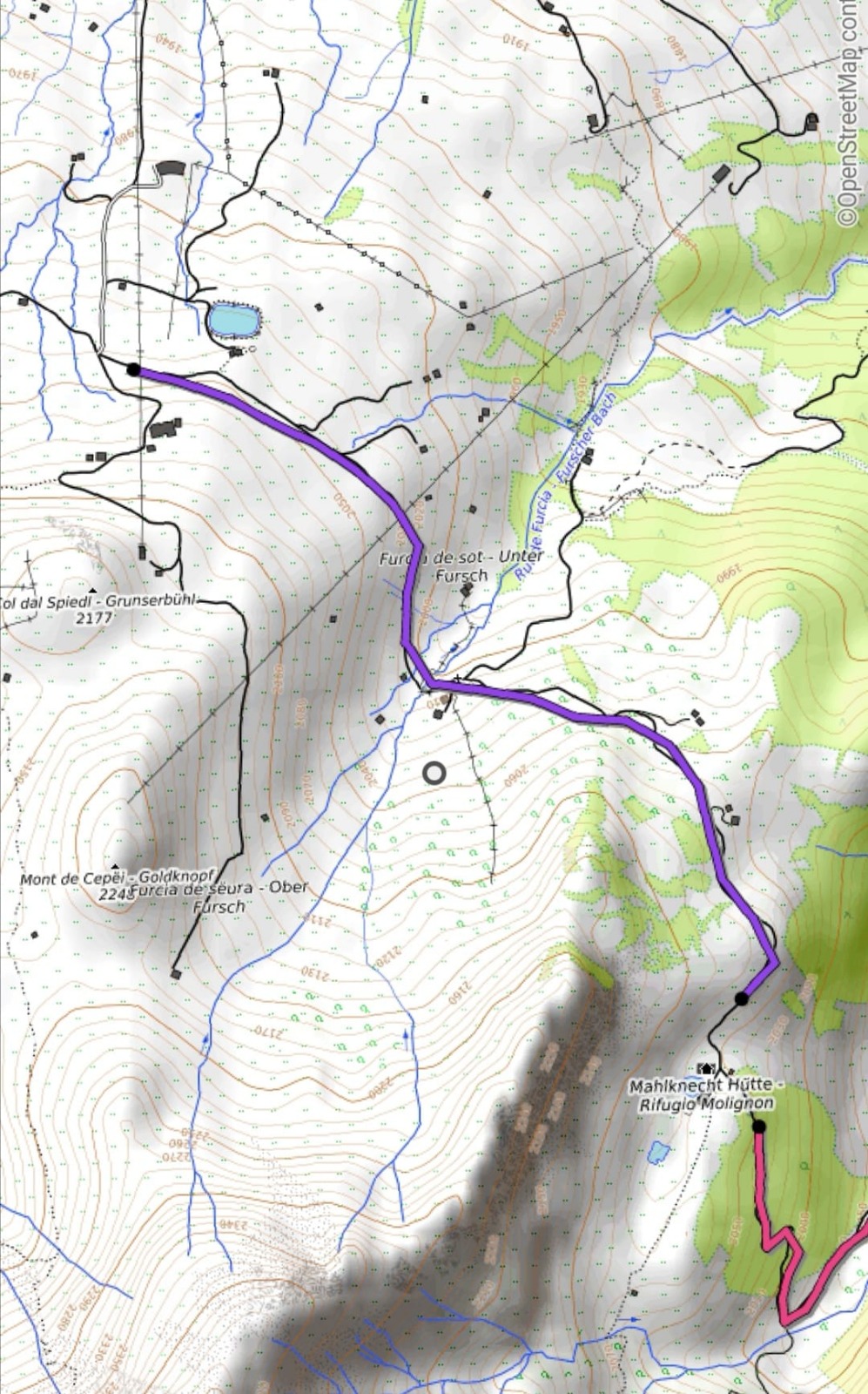
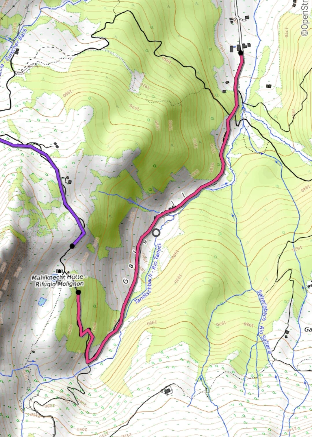
- Molignon
- Tirler
- Saltria
- Jender
- Ortisei
- Stazione a valle - Valley Station - Talstation
- DIFFICULT
Open Google Maps MOLIGNON1 MOLIGNON4Molignon part 2 (not in Google maps)

Molignon part 3 (not in Google Maps)
